
Home / Things to do in Ceredigion / Walking in Ceredigion
Darllen yn GymraegWalk the southern Ceredigion Coast Path
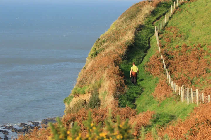
The southern Ceredigion Coast Path connects the Cardigan area with headlands and coves around Mwnt, Aberporth, Tresaith, Penbryn and Llangrannog. Choose a manageable section and check the actual route, as steep climbs make some stretches more demanding than the map distance suggests. Plan the finish and return transport before setting off.
Harbours, fields and northern cliffs
Continue through Aberaeron and the coastal landscapes around Llanon and Llanrhystud. The route towards Aberystwyth includes demanding cliff sections, before Clarach, Borth and Ynyslas introduce different shores and the Dyfi estuary.
Plan each section
Check current diversions, gradients, weather and transport before setting out. Some alternatives use beaches and depend on tides. At Borth, the onward Wales Coast Path turns inland towards a Dyfi crossing, while the Ceredigion route continues to Ynyslas.
Keep exploring
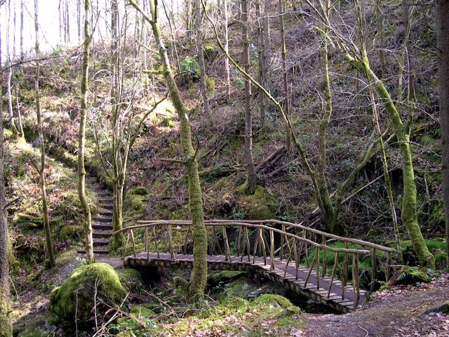
Image credits: Rustic Bridge Hafod Estate - geograph.org.uk - 1244763.jpg — John Duckfield / CC BY-SA 2.0 (Wikimedia Commons). Images may be resized or cropped for the layout.
